Imagery Services
Imagery Analytics provide inspection services for geospatial data to ensure compliance with product requirements/specifications.
Services
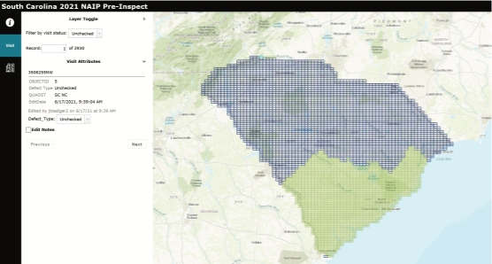
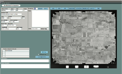
Imagery Inspection Services – Evaluates all Geospatial data against customer requirements, major defects include: (cloud cover, offsets, distorted imagery, horizontal accuracy, image clarity/distortion and pixel resolution) validates project completion through reconciliation processes, and reports findings to project management.


Examples of Imagery Services

